
Client Portal
Securely access your drone maps, surveys, and 3D models anytime, from anywhere in Florida.
About
Expert Drone Mapping in Florida
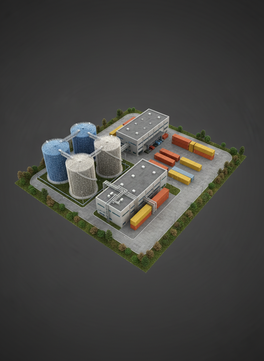
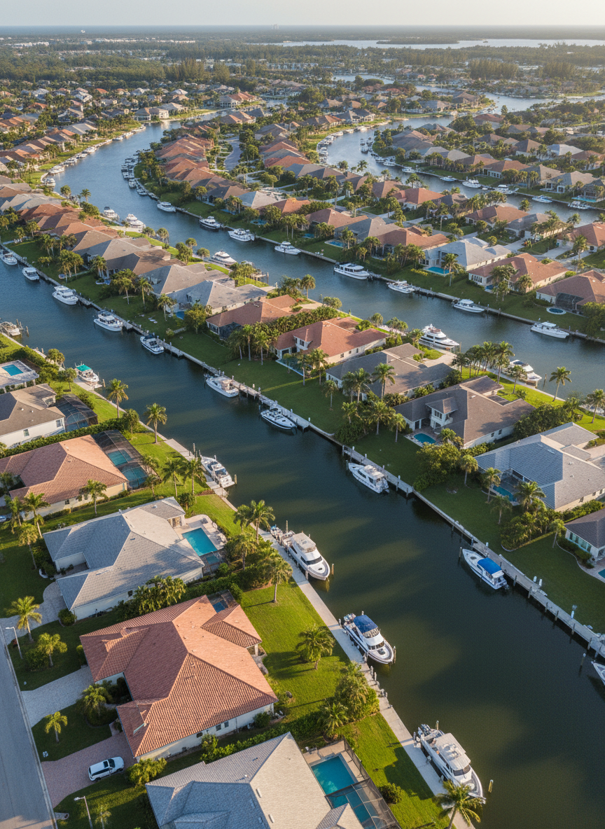
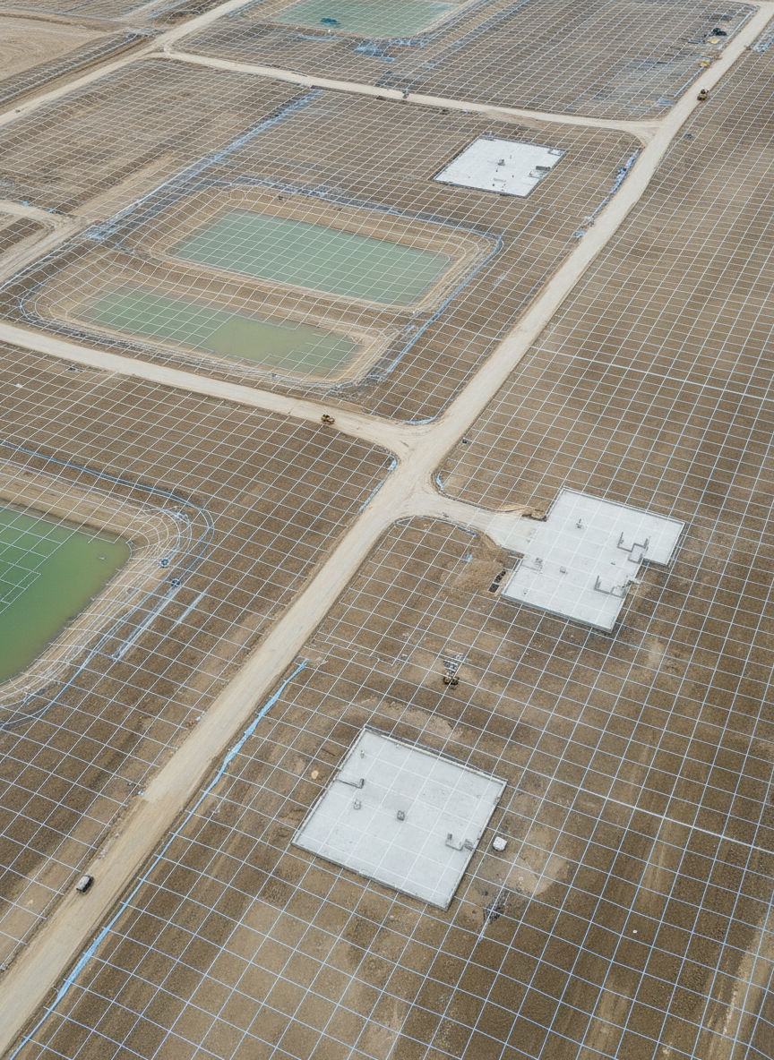
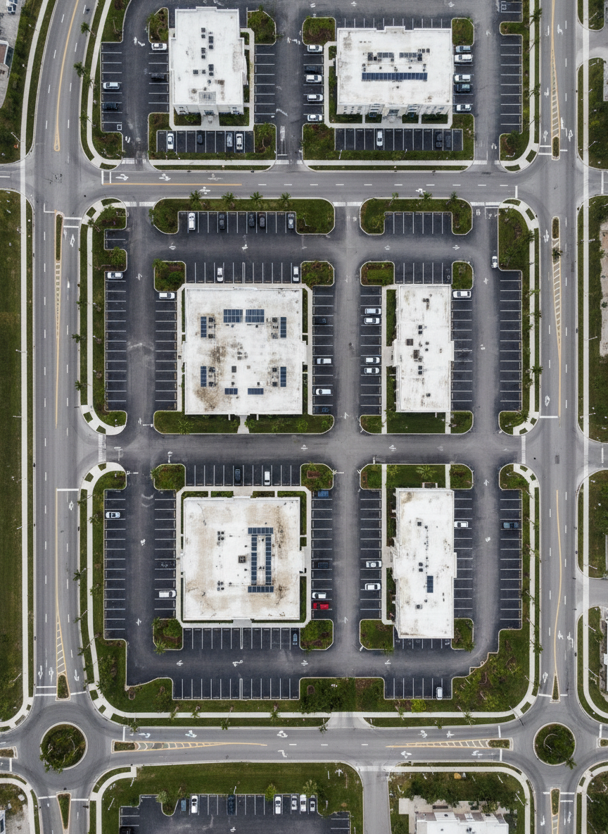
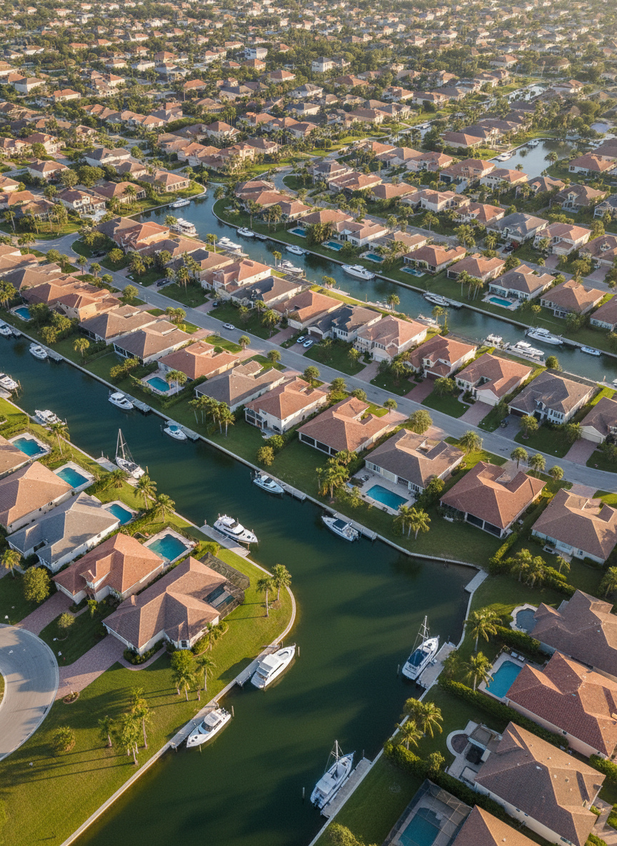
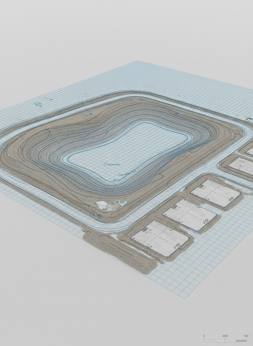
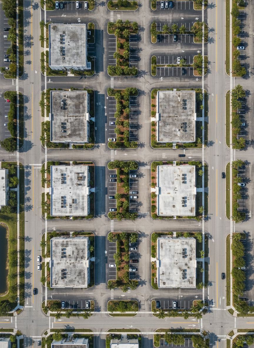
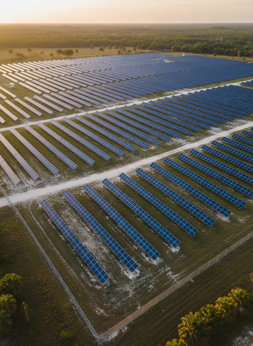
Established in 2026, our licensed pilots and GIS specialists use survey-grade drones, RTK GPS, and advanced photogrammetry to deliver accurate maps, models, and inspections across Florida and the United States. We can deliver aerial imaging including photography and video, orthomosaic imaging, mapping, 3D modeling, topographical mapping, construction progression videos, volume calculations and more! Contact us today to find out what we can do to enhance your business.
Field Team
Rob Lippmann – certified FAA Part 107 UAV Pilot
Shawn Abel – certified FAA Part 107 Pilot
Coming Soon
Testimonials
Hope D.
Florida Aerial Imaging delivered precise topographic maps faster than expected, keeping our construction schedule on track and our engineers fully confident.
Hope D.
Their drone survey replaced weeks of manual fieldwork and gave us centimeter-accurate contours our zoning board accepted without a single revision.
Hope D.
Orthomosaics, volume reports, and 3D models were all delivered clearly organized in the portal, making stakeholder meetings simple and data-driven.
Hope D.
From flight planning to FAA compliance, their team communicated every step and documented everything our risk management department needed.
