Project Summary
Review how your drone mapping deliverables were captured, processed, and referenced to meet project specifications.
Projects
Overview
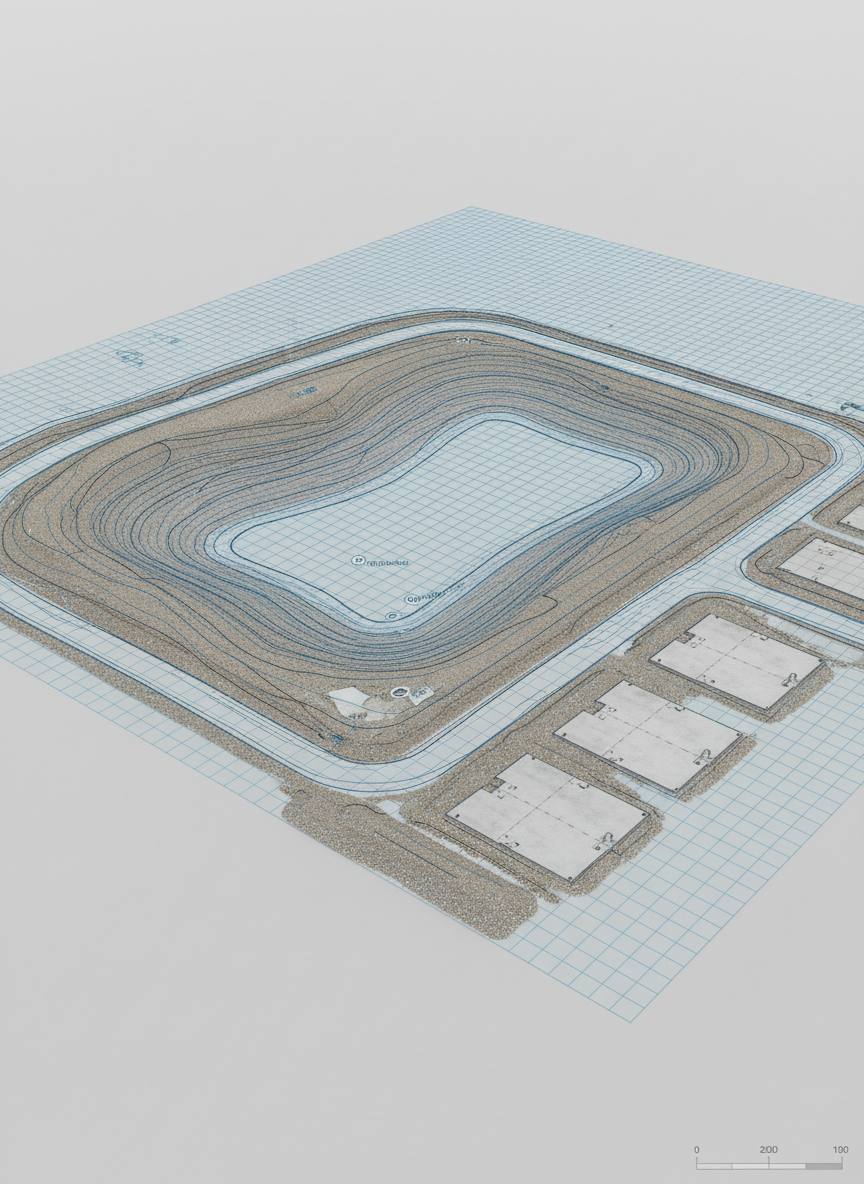
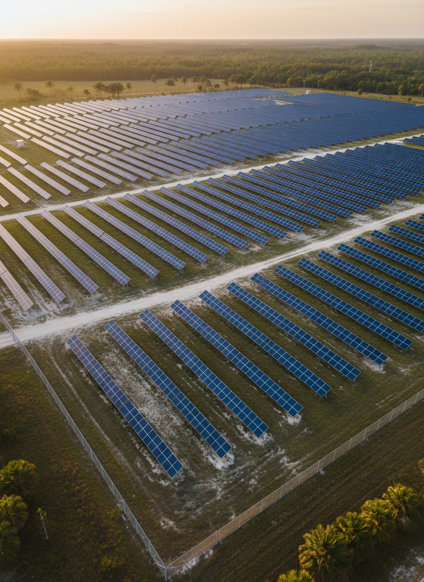
This project was flown with UAV imagery and GNSS control, processed for survey-grade accuracy in Florida state plane coordinates, with documented vertical datum, ground sampling distance, and quality checks summarized in the accompanying technical report.