Client Portal
Access finalized maps, surveys, and 3D models, all organized for fast, secure client downloads.
Services
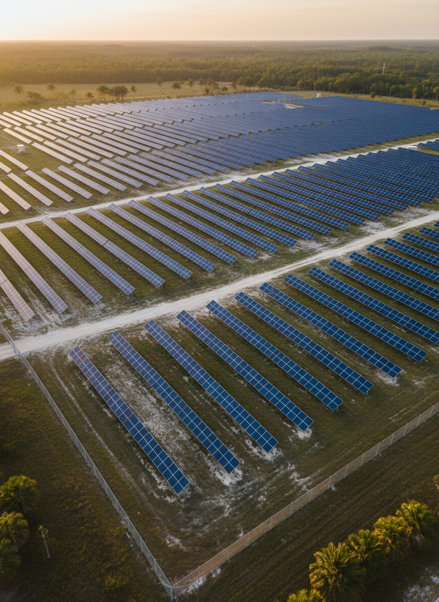
Order orthomosaics, elevation models, and inspection imagery tailored to construction, engineering, and environmental monitoring throughout Florida.

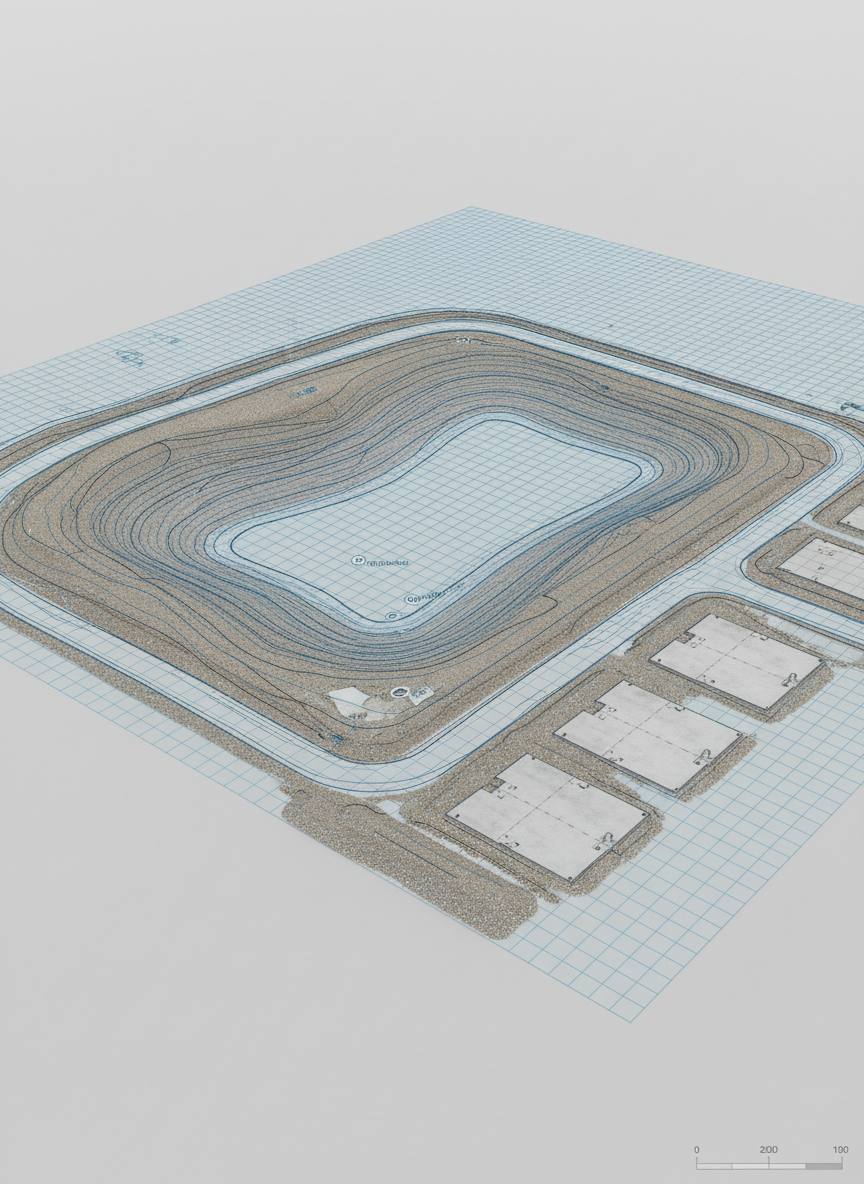
Generate precise topographic surveys and 3D site reconstructions to support planning, design validation, and as-built documentation workflows.
Pricing
Project Starter
Standard aerial mapping missions start at $650 per site for up to 20 acres, including flight planning, FAA airspace checks, and delivery of georeferenced orthomosaic imagery. Larger properties and more complex environments (tight airspace, industrial plants, coastal zones) typically range from $950–$2,400 depending on acreage, altitude, and data density requirements.
Site mapping
Volume analytics
Progress reporting
Basic orthomosaics
Enterprise Suite
Engineering‑grade survey and 3D modeling packages, including high‑resolution point clouds, digital surface models (DSM), and contour exports for CAD, typically range from $1,500–$4,800 per project. Volume measurements, construction progress documentation, and recurring monthly flights are usually quoted as bundled subscriptions starting around $750 per month, with pricing scaled to flight frequency and number of sites.
Detailed topography
3D modeling
Thermal add-on
Rush delivery
About
How Your Deliverables Arrive
After each flight, we process your data, perform quality checks, then upload maps, models, and reports to this portal for convenient review and download within typical three-to-five business days.